Get a big picture for accurate mapping. Space Drone, Dubai supports photogrammetry for preparing site maps and survey reports. The aerial photographs and videos captured by our drone cameras create a digital representation of reality, easing data collection and management.
With highly efficient batteries and improved flight times, drone cameras offer a visible solution for surveying. The unmanned aerial vehicle for Aerial Drone Inspection Services UAE that captures aerial data by photographing the ground several times. The images captured from different angles and tagged with coordinates provide the clients with instant information.
Our drone cameras assure ultra-high-resolution images which are shareable online. The maps created using measurement tools give immediate results and enable quick decision making.
Preparing overlay and comparing the survey reports for different periods are trouble-free once you join us for mapping. Increased accuracy for volumetric measurement is the highlight of the survey mapping support offered by Space Drone.
We help you to:

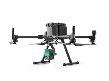
New standard for Industrial drone solution
With Multiple payload option for Survey & Mapping.
Max Flight Time – 55 Min / Battery
Payload Camera
Zenmuse P1
45MP Full Frame sensor
Optimized of photogrammetry flight missions
Zenmuse L1
integrated Lidar + survey-grade RGB solution for true-color point clouds

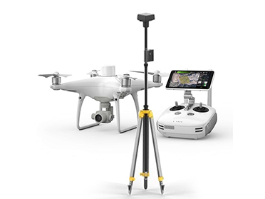
Compact and accurate low altitude mapping solution.
Max Flight Time – 30 Min / Battery
Camera
1” CMOS sensor
20 MP