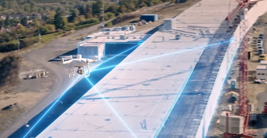
You’ve probably heard of drone surveys if you work in the building or surveying industries. What is it, though, and why would you want to utilize it?
A drone survey is when a drone is used to gather aerial data, photographs, and videos for surveying. It’s a quick and affordable approach to evaluating a location from the air. Numerous uses for drone surveys include mapping, 3D modeling, and others.
Contents
The use of drone surveys in building and surveying can be very beneficial. It can efficiently and correctly gather high-resolution pictures of a location. Using this information, precise maps and 3D models of a location can be produced.
Drone surveys may be completed swiftly and easily, and they are significantly more affordable than traditional surveying techniques.
The use of drone surveys has various advantages. It can be applied to rapidly and precisely evaluate a location. Additionally, it can shorten building schedules and lower costs. It is also used for planning and development purposes. Detailed 3D models of a property can be produced using drone surveys. Drone surveys can also be used to track development and identify changes that occur at a location over time.
A powerful tool for building and surveying is a drone survey. It can be used to swiftly and precisely gather data, cut costs, and accelerate building schedules. In-depth 3D models of a site can be produced via drone survey, and these models can be utilized to plan and build a project. A drone survey is a tool worth considering, whether you work in the construction or surveying industries.
Are you seeking a reputable supplier to use drones to perform surveys?
Space Drone is the solution.
We provide an unmatched survey using a drone service that satisfies all of your requirements.
To give you the best survey using drones, Space Drone employs state-of-the-art gadgets and software. We can take photos and film from great heights thanks to the sophisticated sensors on our drones. This aids in the precise surveying of land, structures, and other locations. Additionally, we can interpret the data quickly and precisely because our drones are outfitted with cutting-edge software.
Our drone survey services are customized to our client’s requirements. We provide a range of services, such as 3D modeling, topographic mapping, and aerial photography. We can also offer specially designed surveys for particular objectives. We can offer you thorough reports using our drone survey services that can assist you in making wise judgments.
In addition to providing Survey Using Drone services, we also offer a range of other services, such as drone mapping and surveying, data collection and analysis, and drone-based remote sensing. Our team of experienced professionals can help you identify and address the needs of your organization.
At Space Drone, we recognize the value of deploying drone services for surveys. We make an effort to offer the best service possible. Any questions you may have can be answered by our team at any time, and we will always offer you the best solutions.
Look no further than Space Drone if you’re seeking a dependable source for drone survey services. To learn more about our services and to begin, get in touch with us right away. We are eager to assist you with any of your drone surveying needs.
To know more, visit our website or call +971528418204.